 Department of Geological and Environmental Sciences
Research
Current research: groundwater-surface water interactions in coastal and alluvial aquifers, estimating past sea-level change, interannual and interdecadal controls on water resources in North Carolina, urban hydrology, effects of runoff on riparian aquifer dynamics
Coastal aquifers: England and Wales field sites
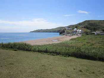
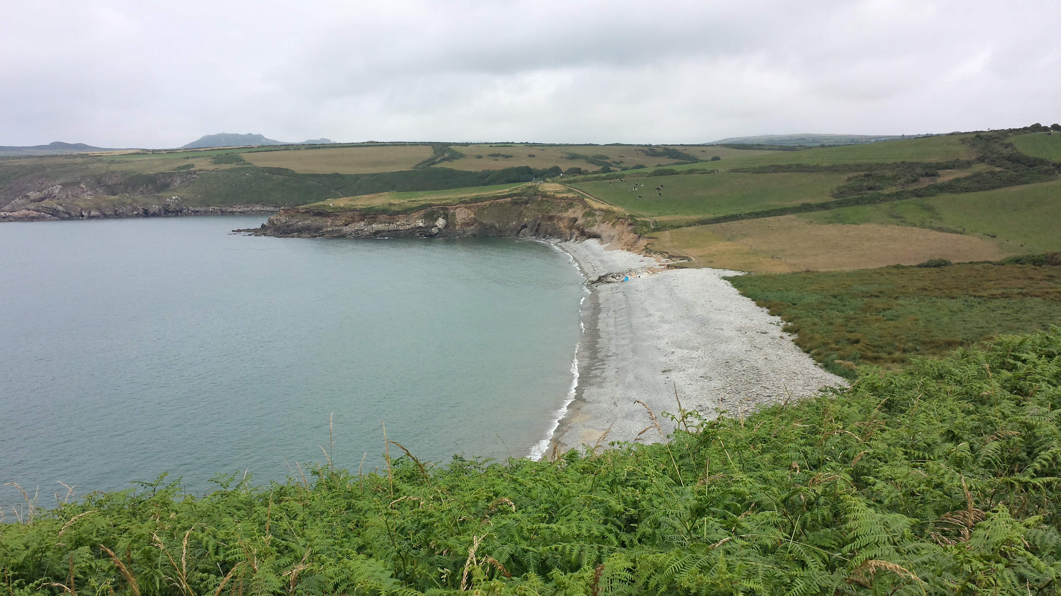
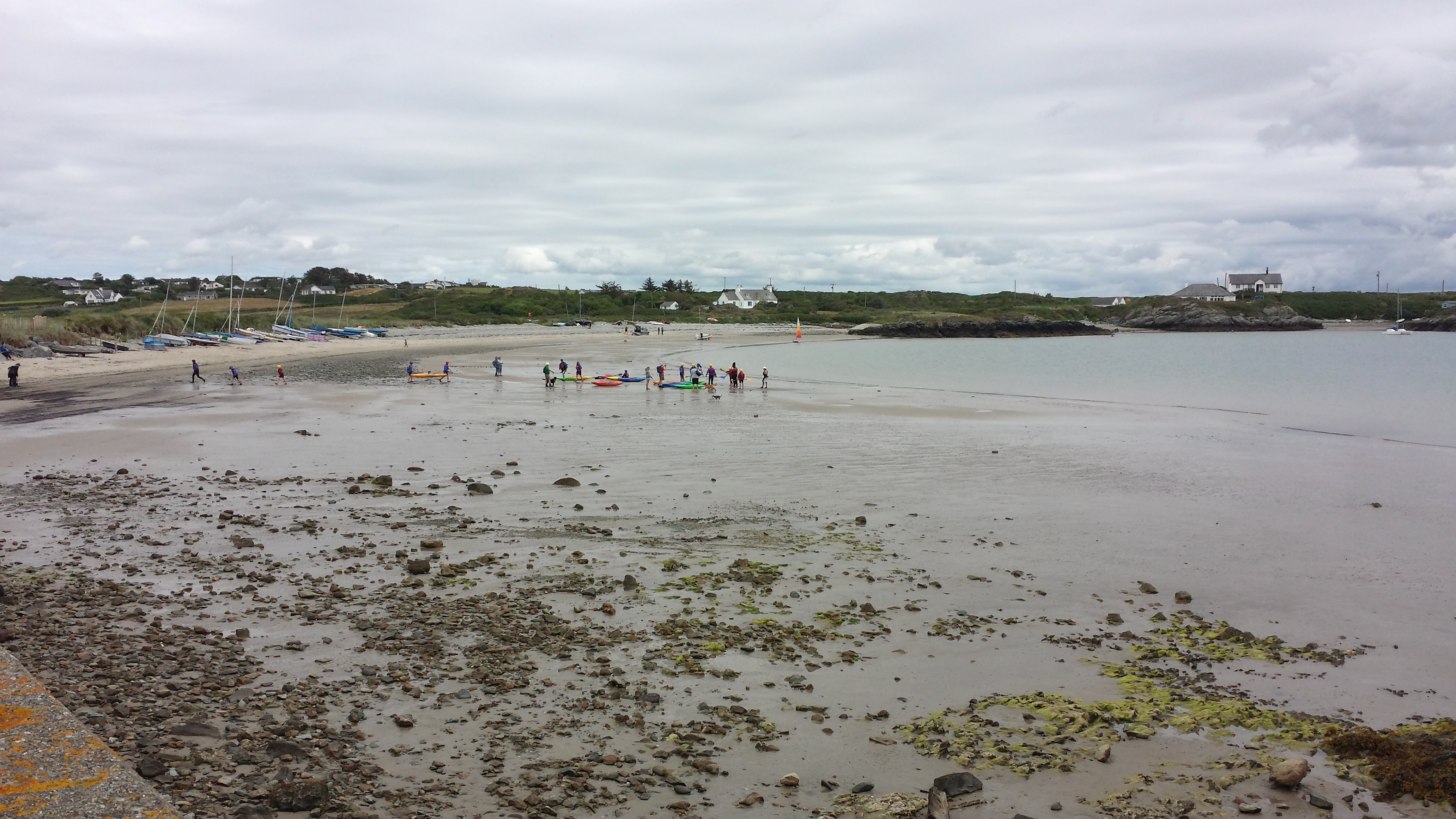
I have spent the past five years developing a research program at a 'shingle' beach field site in Hallsands, England. For this research, I am collaborating with Roland Gehrels, a professor at the University of York, England. I went to this field site for initial data collection in August 2009. I spent seven months as a Visiting Fellow of the University of Plymouth's Marine Institute in 2011. The ultimate goal of our study is to develop a new method of measuring past changes in sea level using freshwater reed samples rather than the traditional salt marsh samples. This research has also given me the opportunity to study a coastal barrier with a completely different hydrogeology than the barrier islands of North Carolina. The 'shingle' beaches of southwest England comprise high-permeability gravels overlying low-permeability peat. In addition, the macrotidal field site experiences maximum tidal variations of nearly five meters. The picture below at the top shows the 'shingle' beach at Hallsands abutting the English Channel with the freshwater marsh to the right of the beach. Since 2014, my research in the UK has expanded to two sites in Wales, notably Abermawr Beach in Pembrokeshire, southwest Wales (pictured below middle), and Rhoscolyn Beach on the island of Anglesey, northwest Wales (pictured below bottom). These sites, while also macrotidal, also have experienced different glacial histories, and, therefore, different relative rates of sea-level change. We are currently working with Geoff Richards, a PhD student at the University of York in the research of these sites.
Alluvial aquifers: Boone Creek field site
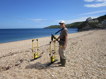
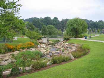
A significant portion of my research time since my arrival at ASU has been the study the alluvial aquifers adjoining mountain streams. The alluvial aquifer research, although located in a completely different hydrogeologic environment, is similar to the research that I have conducted in coastal aquifers. It also is a study of an aquifer system, from recharge to discharge, with modeling techniques, and involving a component of groundwater-surface water interaction―in this case baseflow rather than SGD. This research also involves a component of transport, but instead of studying a transition zone between fresh and saline water, this work involves the study of stream and streambed temperatures and heat transport modeling. The picture below shows a portion of Boone Creek on the ASU campus.
Coastal aquifers: Hatteras Island field site
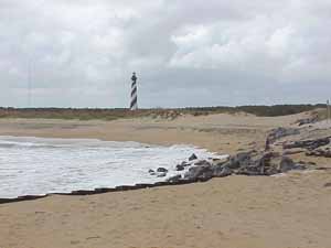
The majority of my coastal aquifer research up until 2009 was performed in the barrier-island aquifers of the Outer Banks. I have been working on this problem since 1994, when I was hired by the State of North Carolina to evaluate the surficial aquifer in the Cape Hatteras region. My coastal-related work on Hatteras Island involves using groundwater modeling techniques to evaluate variations in the mixing zone between fresh and saline water, which is commonly referred to as the subterranean estuary. There are many influences on the mixing zone. It is not static at any temporal scale, from wave run-up to diurnal tidal oscillations to monthly tidal variations to seasonal variations in aquifer discharge driven by recharge differences. Of early interest to me was the response of the mixing zone to the large storm events that frequently strike the Outer Banks. My studies demonstrate that it may take the mixing zone a decade or more to recover from a single storm event, calling the whole notion of a static boundary into question. The picture below shows the beach at Hatteras Island near the relocated lighthouse.